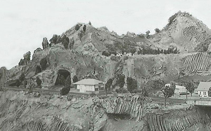
This view shows the outskirts of the HO village, and area that would be leveled in 1953 to make room for an over under figure 8.